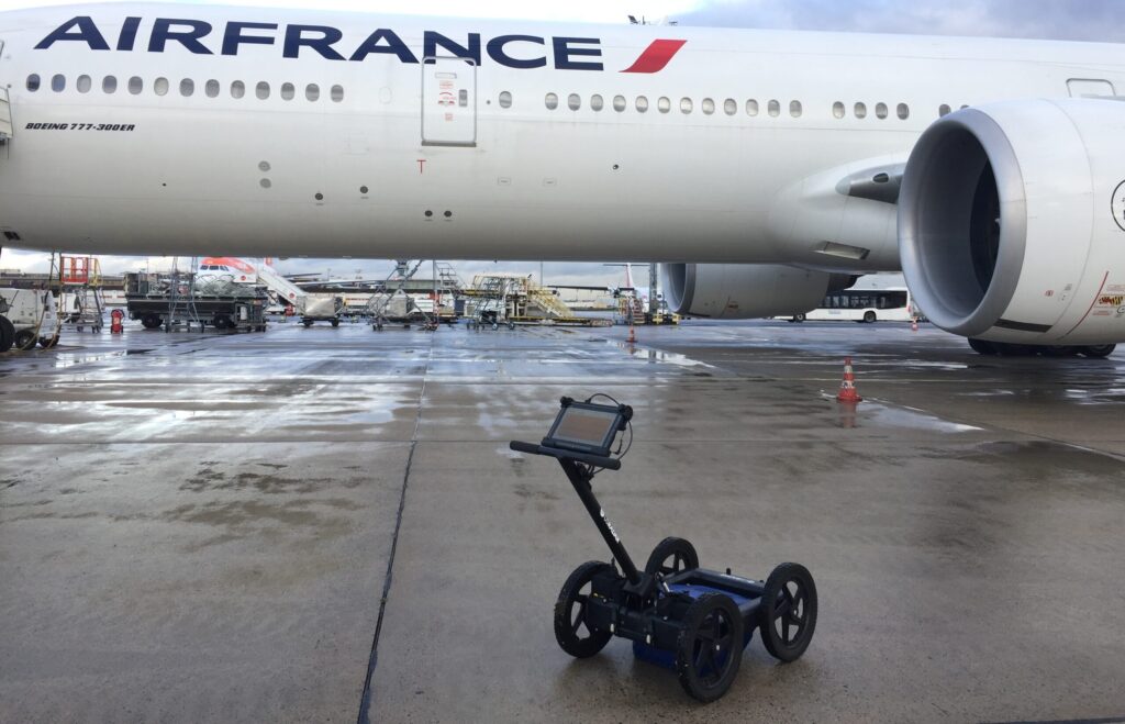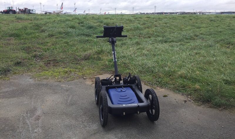
Overview


Why Triple Frequency?
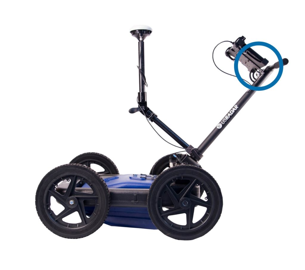
Featured Technologies
Features
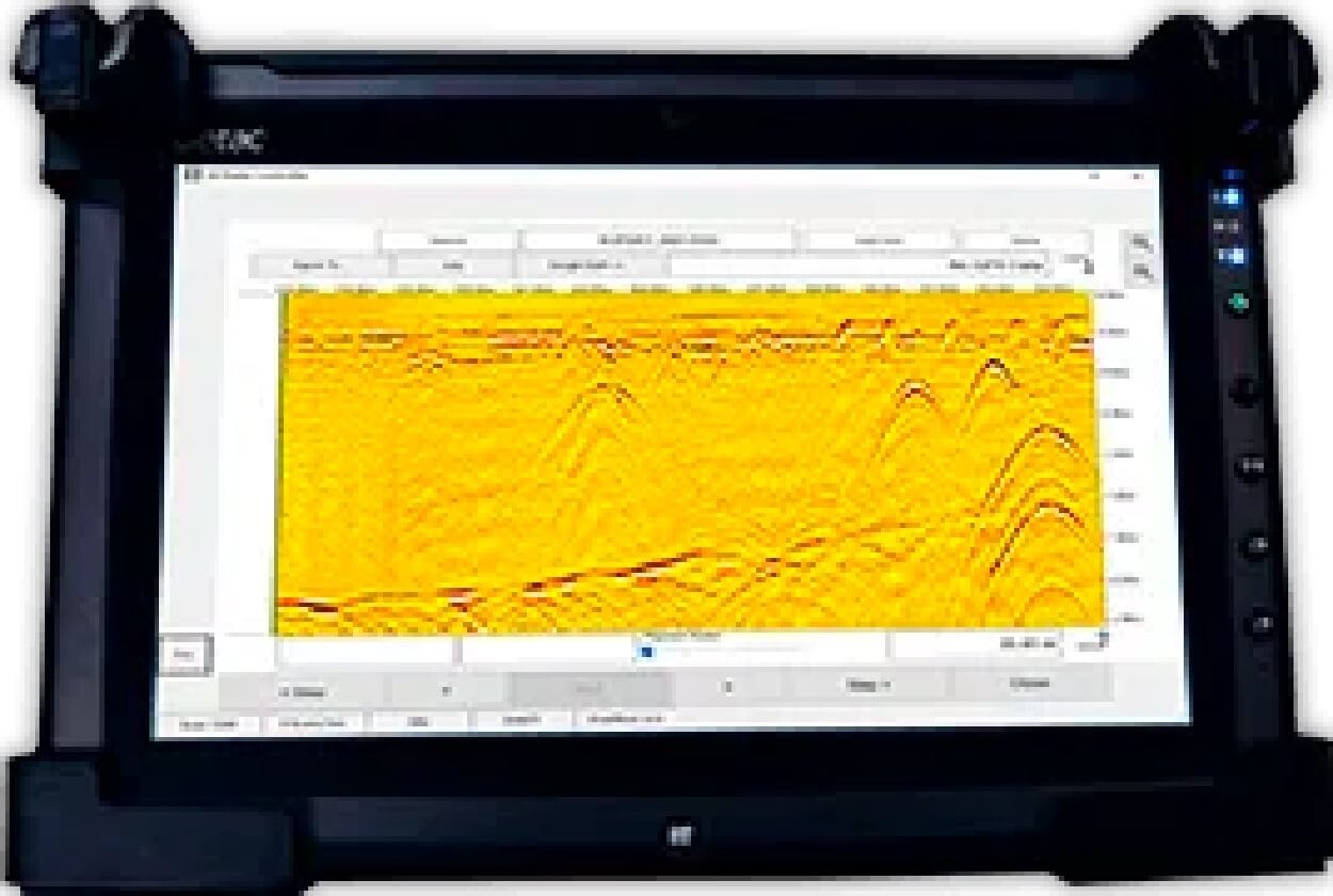


Software
Specifications